Tierra del Fuego
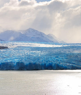
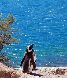
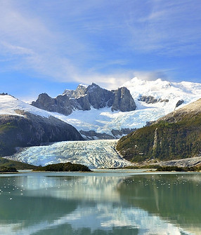
Tierra del Fuego is an Archipelago, or group of islands, that is located at the southernmost tip of Argentina and South America. The main island is a large triangle shaped, and is separated from the mainland by the Strait of Magellan. The whole complex of islands is approximately 28,473 square miles in area. Although this is the area of the whole Archipelago, only about one third belongs to Argentina. There is a variety of geography and landforms in Tierra del Fuego. The northern part of the islands mostly consist of glaciers and lakes, as it is extremely far south and cold all year-round. The southern and western parts of the archipelago are very high in elevation, as they are a continuation of the Andes, with mountains that surpass 7,000 feet in elevation down south. Vegetation is limited in Tierra del Fuego, mainly consisting of moss and some deciduous trees. The region was discovered in 1520 by a navigator named Ferdinand Magellan, who named the strait after himself, and archipelago Tierra del Fuego, meaning the land of fire. Tierra del Fuego offers remarkable landscapes and brings beauty to the region.